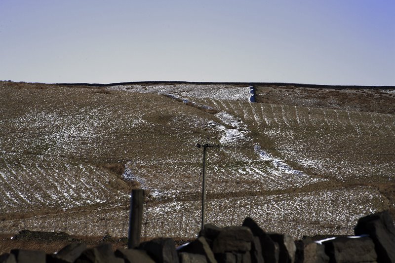
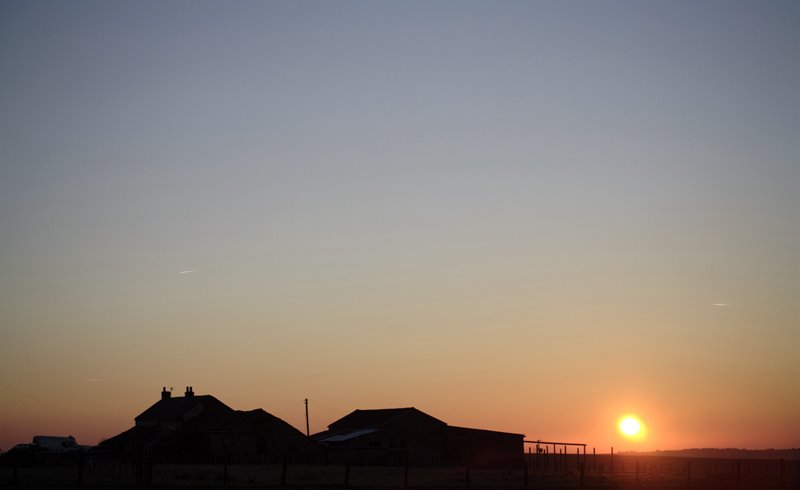
Light over Cheesden Pasture from Four Acres Lodge by Andy Marshall
Touched by the hand of God it might be, but the communities which lived in this location 200 years ago might not have been aware of such stark beauty.
I have learnt such a lot about the people of the Cheesden Valley through the many years I have trudged up and down with camera and tripod. My first perception was of a valley full of industry in a state of perpetual lavaic flux, amidst the volcanic explosion of the industrial revolution which had its epicentre only 10 miles away in the dark and satanic murk of Manchester.
Yet, the photographic process has allowed a slow absorption of the lichen clad stone and rusted lodge pipes, which in turn has helped me recognise the intangible links between each mill and the community which built them.
This valley was no typical conglomeration of manufactories. The activitiy and culture which grew up in this valley over 200 years ago lies on the cusp of the industrial revolution, it hangs onto the large hunk of urbanisation by a sinew. It is a distant cousin, a transitional phase between the medieval workshop and the multi-disciplinary factory.
The 15 or so mills built along the full length of the valley with disparate roles such as bleaching and fulling are the conduits of a community isolated from the industrial mammon by the deep cut and thrust of the valleys of the North Pennine Moors. There is something noble about their activities: to organise and produce a loose conglomerate of structures, which in many ways complemented each other, and provided the answer to much of the cotton process from spinning to bleaching and finishing.
P. S. Barnwell sums it up intuitively in his text entitled 'Workshops, industrial production and the landscape' : "...unless production was concentrated in a single workshop or manufactory, articles had to be moved, often many times, from one workshop to another during the course of manufacture. For this to be economically sustainable required a density of businesses within a restricted area, so that the network of interdependent workshops created a kind of dispersed factory, with specialist workers working like a dispersed machine. The result was the creation of tight-knit communities with a sense of common purpose, fate and identity, living in areas dominated by the buildings, often individually undistinguished, of the local trade: the mass of such buildings often transformed the local landscape and , where they still exist, create a dominant sense of local distinctiveness" (Taken from 'The Vernacular Workshop - from craft to industry, 1400-1900' CBA 2004)
The Cheesden Valley in a nutshell.
 Another HDR image of the wonderfully eclectic Saint Mary's Parish Church Whitby Yorkshire UK.


 You can buy this image at Alamy
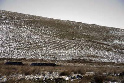
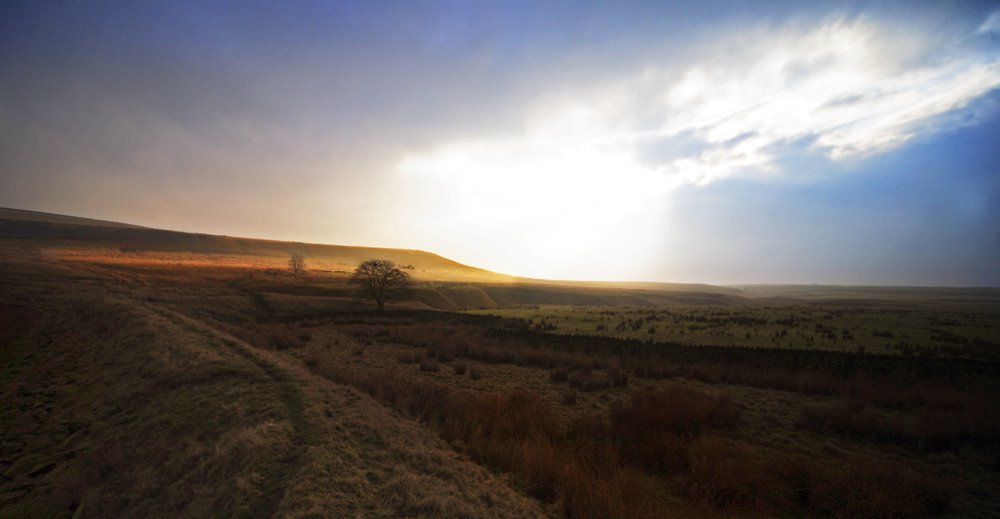
 In the photo above you can see the full outline of the lodge and the indentation where water would have collected to power the waterwheel.